Ford and Etal Estates boasts some of the most beautiful and accessible countryside in Northumberland and the area can be explored following quiet lanes, footpaths and bridleways – all well waymarked. Please follow the Countryside Code.
Maps and directions to a series of waymarked walks around Ford & Etal Estates are available. Walks range from short one mile-strolls to more demanding routes. Either download the leaflets below, or pick them up from various locations around the Estates when you visit.
Children might enjoy following a geocaching trail, further details below.
Walk 1: a short two-mile linear walk from Heatherslaw to Etal and back, following the Route 68 cycle path.
Download Walk 1 Map and Directions HERE
Walk 2: A four-mile walk to Ford village, alongside the River Till and across fields, and past Ford Castle, returning via Hay Farm Heavy Horse Centre.
Download Walk 2 Map and Directions HERE
Walk 3: A moderate circular four-mile walk, with some hills, through fields and round quiet back roads that take you past Hay Farm and Cheviot Brewery, with magnificent views of the Cheviots and Eildon Hills.
Download Walk 3 Map and Directions HERE
Walk 4: An easy one-mile loop walk, with sloping paths, that runs through a steep-sided wooded valley (dene). This is unsuitable for buggies and can be wet in places.
Download Walk 4 Map and Directions HERE
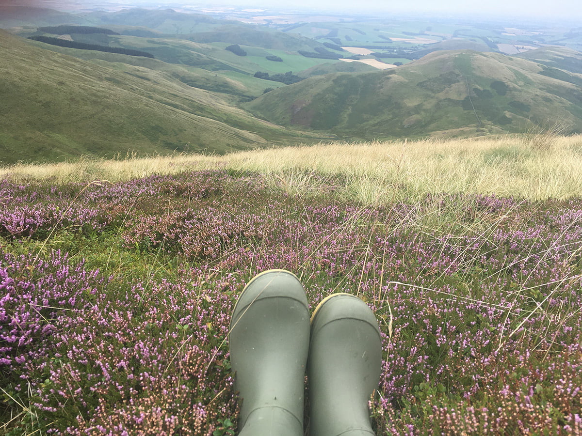
Walk 5: A five-mile circular walk around Ford Moss Nature Reserve, now an SSSI, with the option to extend it for a further three miles, to take in stunning views over the Scottish Borders.
Download Walk 5 Map and Directions HERE
Walk 6: A moderate to strenuous seven-mile circular walk that takes you alongside the River Till, across fields and quiet lanes and onto Etal Moor.
Download Walk 6 Map and Directions HERE
Walk 7: An easy loop walk of 1.7 miles along a path and through fields, so difficult for buggies.
Download Walk 7 Map and Directions HERE
GEOCACHING
Go on an adventure with our Children’s Geocaching Trail and maybe find some treasure! Download the geocaching app here (for android phones), and here (for iphones), create an account, then use the ‘map in the app’ to locate the live geocaches on Ford & Etal Estates. Geocaches are a worldwide treasure hunt, more details can be found here
switch website